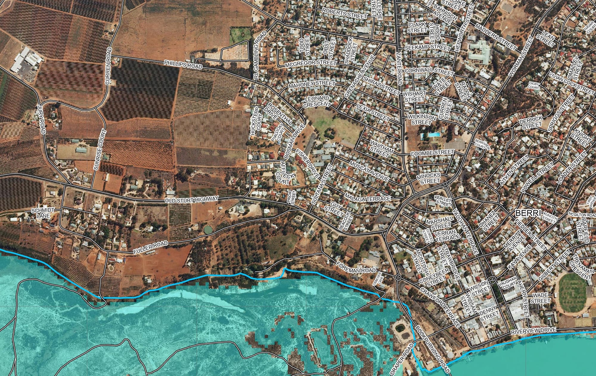
Flood mapping shows local river-front risks
HOMES and infrastructure in low-lying areas, particularly in Morgan, will be under threat of inundation if flow predictions are accurate, according to flood mapping recently released by the state government. The Department for Environment and Water...


